


17 Days/16 Nights
Group N/A
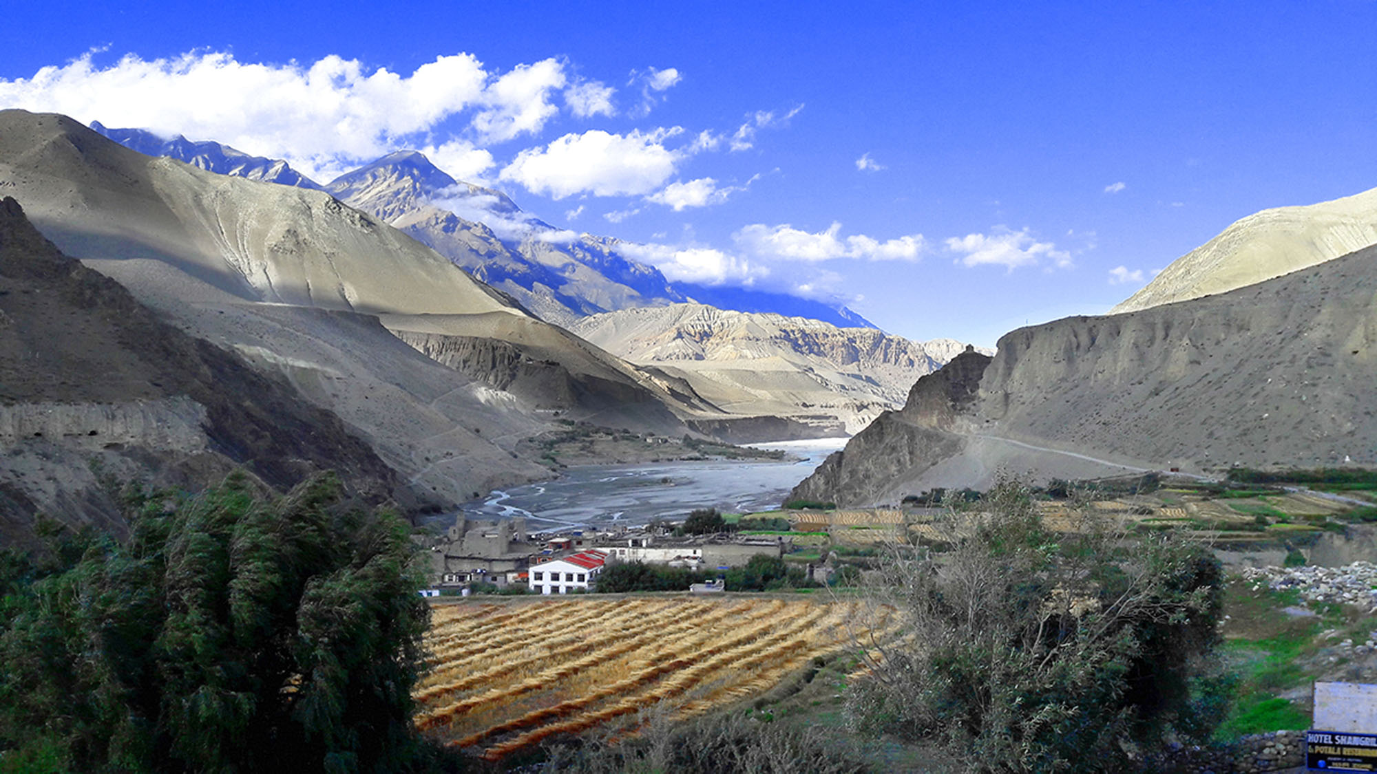
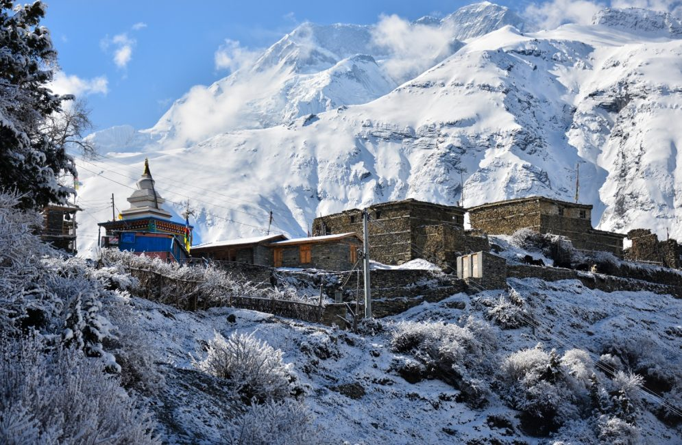
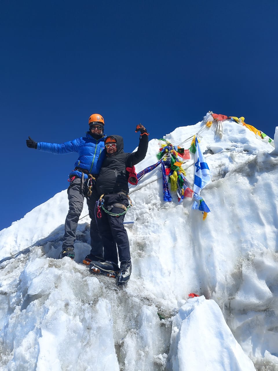
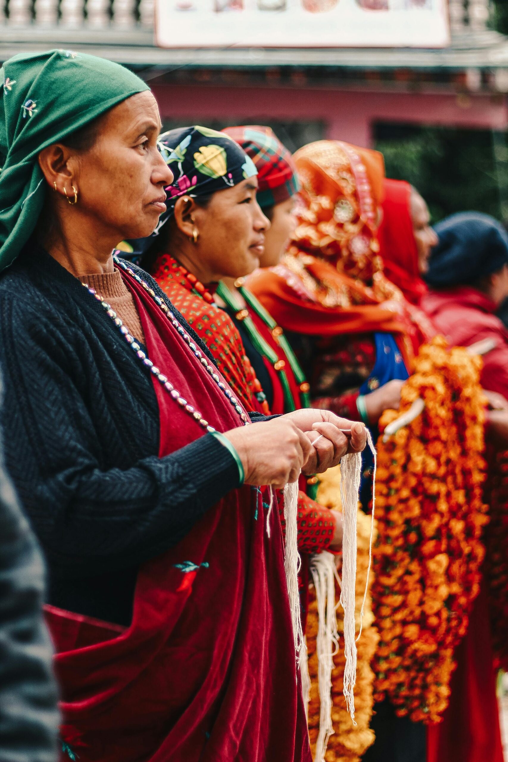
Dhaulagiri Circuit Trek
Price From:
On Request
View Details